USGS - science for a changing world

WaterQualityWatch -- Continuous Real-Time Water Quality of Surface Water in the United States

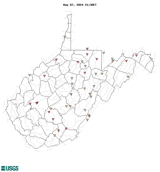
Real-Time Water Temperature, in °C

Map of , showing which states provide real-time computed water-quality data
03114500 03185400 03193000 03191982 03200500 03155000 03062445 03189100 03070260 03112500 03054500 03061000 03057000 01611500 03194700 03072000 01608500 03184500 03183500 03051100 02011400 01595800 03066000 03069500 01610400 03067510 02011500 02011800 03180500 03159540 03181949 03068000 03076500 03057300 03179000 01597500 03187500 03056000 03058000 01636500 Explanation

* Site operated on a seasonal basis or currently is not operating.
No values are available for the last 6 hours.

The "Real-time" map tracks short-term changes (over several hours) of water quality. Although the general appearance of the map changes very little from one hour to the next, individual sites may change rapidly in response to major rain events or to reservoir releases. The data used to produce this map are provisional.

Accessibility FOIA Privacy Policies and Notices

Take Pride in America logo USA.gov logo U.S. Department of the Interior | U.S. Geological Survey
URL: http://waterwatch.usgs.gov/wqwatch/map?state=wv&pcode=00010
Page Contact Information: gs-w-ks_info@usgs.gov
Page Last Modified: Mon 9 June 2014