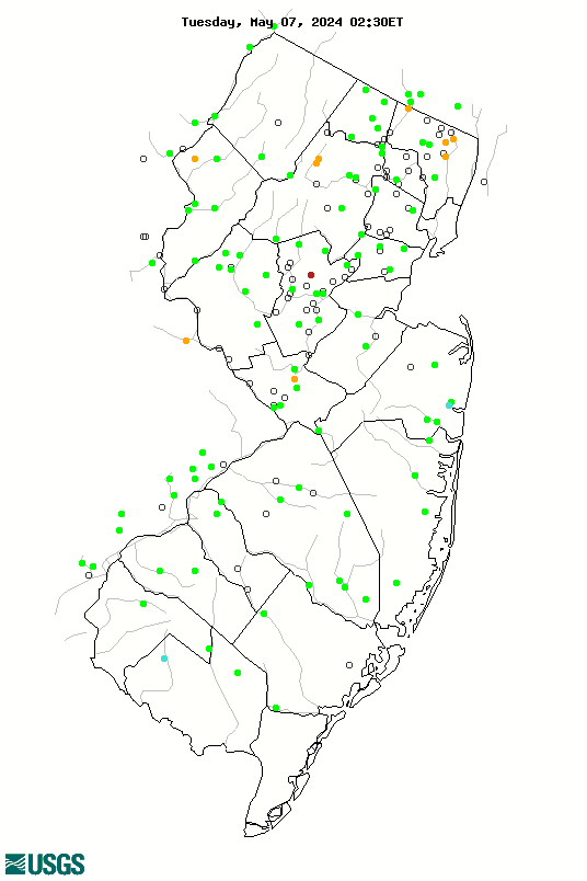
WaterQualityWatch -- Continuous Real-Time Water Quality of Surface Water in the United States

Real-Time Discharge, in cfs

Map of , showing which states provide real-time computed water-quality data
01477800 01477000 01476480 01475001 01467081 01467000 01466500 01442500 01412800 01410150 01410000 01409810 01407705 01403150 01398000 01460440 01474500 01467087 01467048 01464000 01454700 01445500 01445000 01443900 01439500 01408120 01402000 01401650 01400500 01399500 01398500 01397000 01396660 01396582 01396500 01389500 01388500 01388000 01387450 01387420 01387000 01386000 01384500 01383500 01379773 01376800 01482500 01481500 01477120 01467150 01467086 01465850 01464500 01463620 01457000 01446000 01411500 01411300 01411000 01409400 01408900 01408500 01408029 01408000 01407500 01403400 01403060 01401000 01474000 01467042 01465798 01463500 01459500 01446500 01443500 01443280 01440000 01438500 01434000 01409280 01407760 01405400 01405030 01403540 01400000 01399670 01392500 01391500 01391000 01390500 01387500 01387400 01381900 01381500 01380450 01379500 01379000 01377500 01455500 01396800 01395000 01394500 01393450 01382500 01381000 01378500 01377000 01480120 01475548 01467005 01466900 01465880 01463882 01463740 01462500 01462000 01461500 01460500 01460415 01460380 01458500 01457500 01455400 01446995 01446776 01446775 01441495 01440200 01410820 01410784 01410500 01407498 01407290 01406050 01403900 01403600 01403570 01403200 01402630 01402540 01402500 01401750 01400360 01400010 01399830 01399780 01399100 01398102 01397420 01396790 01396000 01394620 01394000 01393895 01393890 01392170 01391102 01390450 01389890 01389802 01389765 01389550 01389534 01389492 01389010 01389005 01388910 01388700 01388100 01387998 01387940 01387905 01386990 01383000 01382800 01382385 01382210 01381800 01381400 01380900 01379845 01379780 01379530 01378480 01377451 01377450 01377370 01376950 01302020 Explanation

* Site operated on a seasonal basis or currently is not operating.
No values are available for the last 6 hours.

The "Real-time" map tracks short-term changes (over several hours) of water quality. Although the general appearance of the map changes very little from one hour to the next, individual sites may change rapidly in response to major rain events or to reservoir releases. The data used to produce this map are provisional.