WaterQualityWatch -- Continuous Real-Time Water Quality of Surface Water in the United States

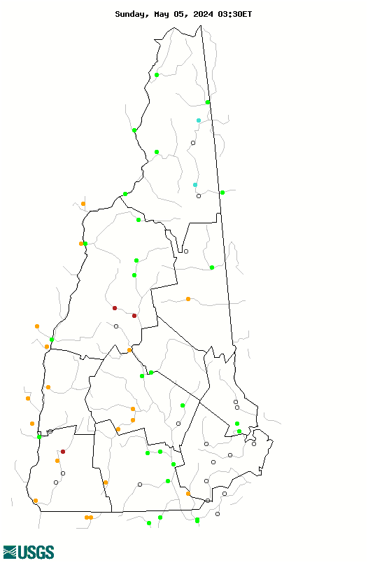
Real-Time Discharge, in cfs

Map of , showing which states provide real-time computed water-quality data
01161000 01138500 01052500 01158000 01157000 01131500 01129500 01076500 01081000 01162500 01162000 01154500 01153550 01153000 01152500 01151500 01144500 01144000 01139000 01135500 01130000 01129200 01089500 01086000 01085000 01082000 01081500 01078000 01076000 01075000 01064801 010965852 01137500 01100000 01099500 01096500 01096000 01094000 01092000 01091500 01091000 01085500 01074520 01073500 01073000 01064500 01054200 01054000 01053500 010735562 010642505 01160350 01158110 01154950 01100693 01100627 01100561 01100505 01093852 01089925 01077400 01073785 01073587 01073319 01072870 01072800 01054114 01053600 Explanation

* Site operated on a seasonal basis or currently is not operating.
No values are available for the last 6 hours.

The "Real-time" map tracks short-term changes (over several hours) of water quality. Although the general appearance of the map changes very little from one hour to the next, individual sites may change rapidly in response to major rain events or to reservoir releases. The data used to produce this map are provisional.