USGS - science for a changing world

WaterQualityWatch -- Continuous Real-Time Water Quality of Surface Water in the United States

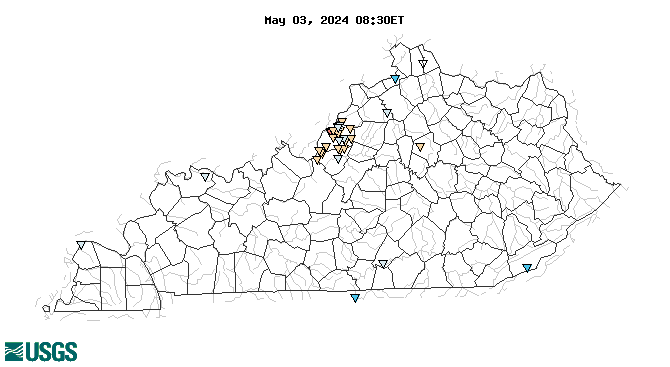
Real-Time Dissolved Oxygen, in mg/L

Map of , showing which states provide real-time computed water-quality data
03417500 03292475 03254520 03298000 03414002 0329247350 03292480 03302058 03298200 03298300 03292474 03301900 03321500 03290500 03298250 03298135 03293530 03289193 03293000 03298150 03400800 03292500 03292470 03277200 03292900 03612600 03297800 03293532 03293500 03302030 03301940 03302060 03302050 03297900 03293510 03293510 03294570 03287590 03302000 Explanation

* Site operated on a seasonal basis or currently is not operating.
No values are available for the last 6 hours.

The "Real-time" map tracks short-term changes (over several hours) of water quality. Although the general appearance of the map changes very little from one hour to the next, individual sites may change rapidly in response to major rain events or to reservoir releases. The data used to produce this map are provisional.

Accessibility FOIA Privacy Policies and Notices

Take Pride in America logo USA.gov logo U.S. Department of the Interior | U.S. Geological Survey
URL: http://waterwatch.usgs.gov/wqwatch/map?state=ky&pcode=00300
Page Contact Information: gs-w-ks_info@usgs.gov
Page Last Modified: Mon 9 June 2014